Mapping image viewer
A PyQt5 proof of concept for pulling third-party street imagery into the HD-map data lake. It worked well enough to become a product.
I've worked mostly in embedded and backend code, but I've built user interfaces when the job needed one: PyQt5 for Linux and Windows apps, Visual Studio and C++ for Windows, Interface Builder and SwiftUI for iOS, and CodeWarrior and C++ for Palm OS.
This one is from Dynamic Map Platform. The company collected its own LiDAR and camera imagery as the source for its maps, but in some cases needed an alternative source for camera imagery. One option was to use an image provider's API to find street-level imagery at a given latitude and longitude and pull it into the data lake.
As the team leader responsible for data-lake ingest and owner of the tool suite, I built a quick proof of concept to show what that would look like. It did its job well enough that we added it to the tool suite and refined it into a finished product.
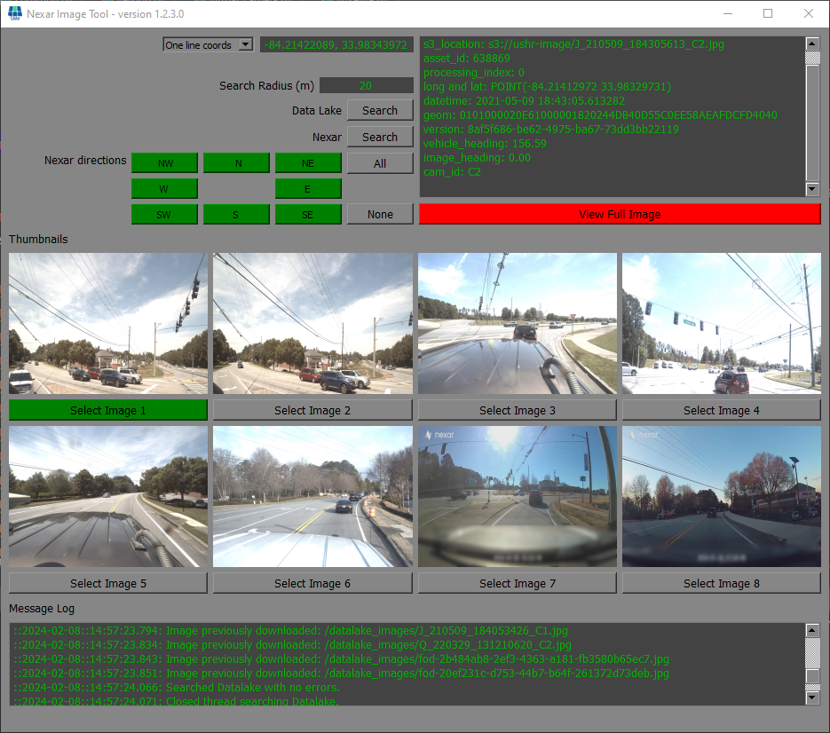
Search by coordinates, pick from the results 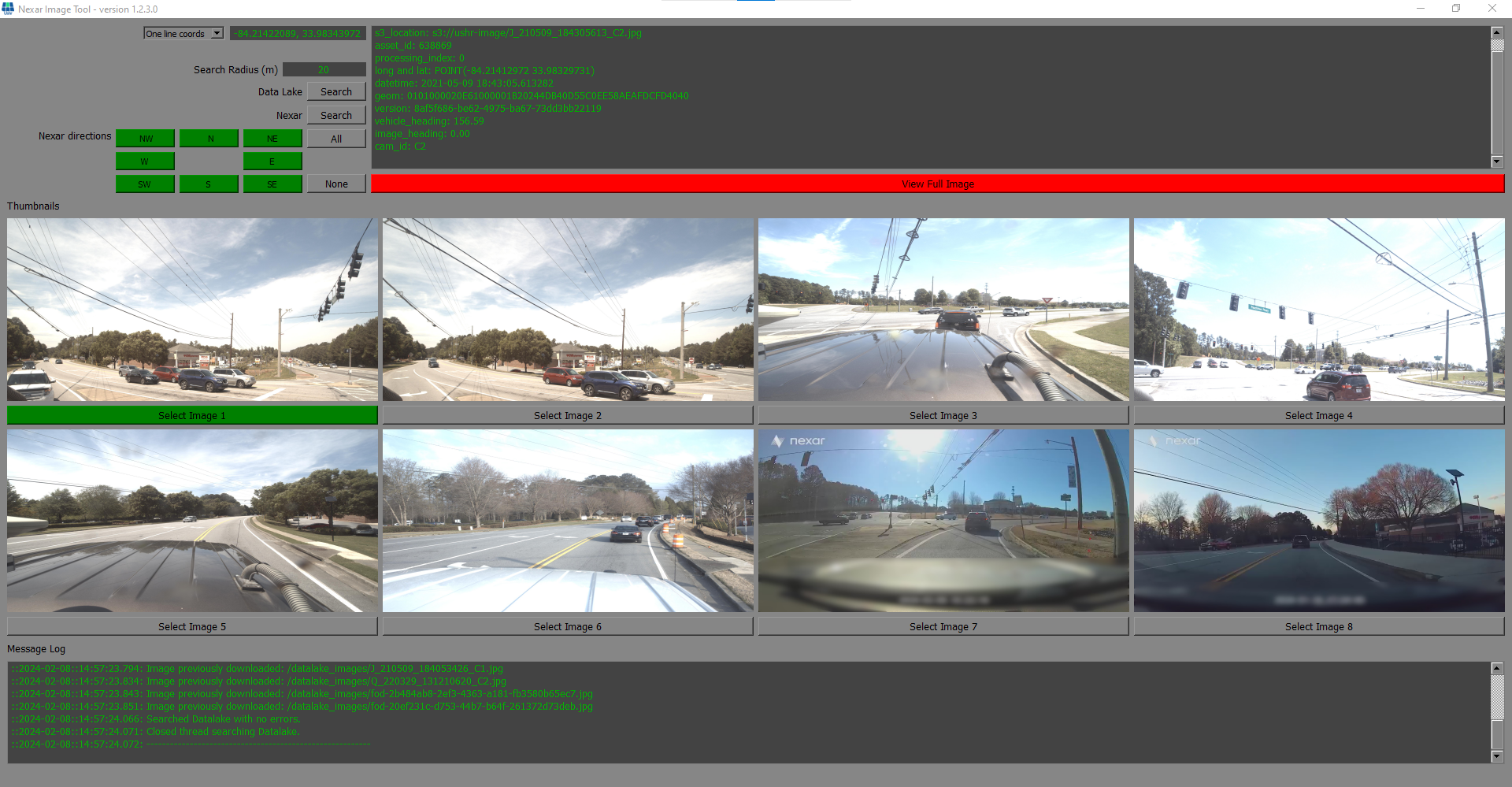
Results for one location 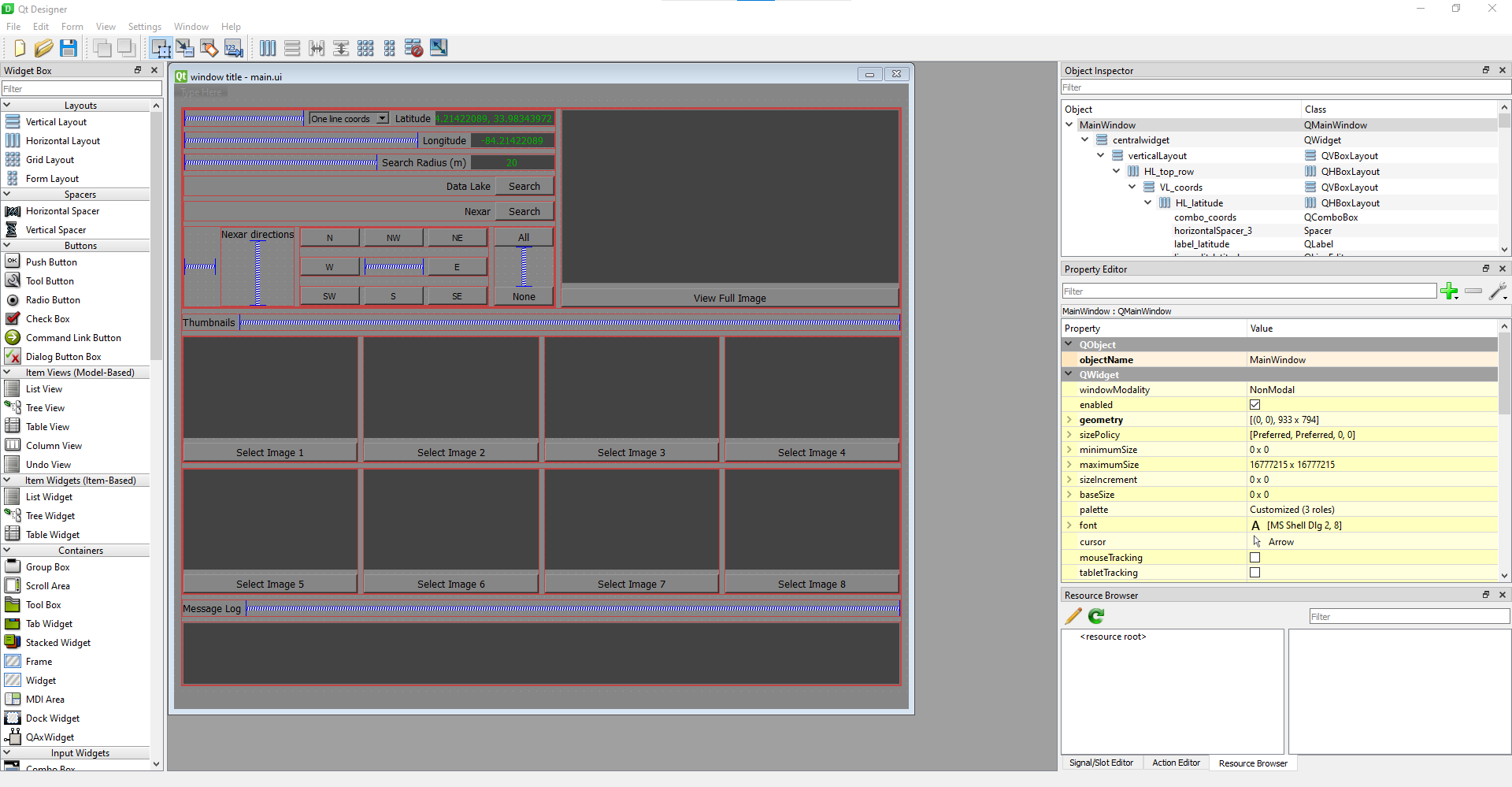
The main window
The GitHub repo is for sharing, not development; it has screenshots and sample source.